Athos Agapiou
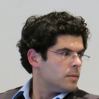
Athos Agapiou is a Senior Researcher at the Department of Civil Engineering and Geomatics of the Cyprus University of Technology (CUT). He is currently, the elected Chair of the CAA-Gr (Greek National Chapter of the ‘Computer Applications and Quantitative Methods in Archaeology’). In the recent past (2015-2018) he was a member of the CAA International Scientific Committee. His scientific interests include the fields of earth observation, remote sensing, and geometric documentation intended for archaeological research and cultural heritage landscapes.
Chris Danezis
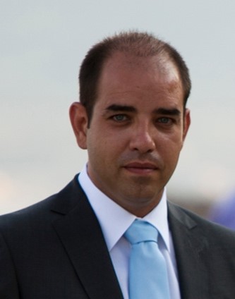
Chris Danezis (CAA 2021 organizing committee) is an Assistant Professor of Geodesy at the Department of Civil Engineering and Geomatics of the Cyprus University of Technology (CUT). He currently serves as the Head of the Laboratory of Geodesy, and as the InfrastructureCoordinator of the Cyprus-based Teaming H2020 ERATOSTHENES Centre of Excellence. His research interests include geodesy, navigation, and geoinformatics, as well as their applications to earth, atmospheric and environmental sciences, archaeology and public health. He is the coordinator of the strategic research infrastructure unit CyCLOPS: “Cyprus Continuously Operating Natural Hazards Monitoring and Prevention System”, an “Infrastructure” research project funded by the Research and Innovation Foundation of Cyprus. Its utmost objective is the establishment of a state-of-the-art multi-sensor network to detect and monitor areas susceptible to geohazards, such as settlements, archaeological landmarks, and sensitive infrastructure across Cyprus. He has served as member of technical committees in several conferences, such as JISDM 2019 and AGILE2019. In the recent past, he has coordinated the organization of EURO-MED-SEC3, the 3rd European and Mediterranean Structural Engineering and Construction Conference in August 2020. More information at Chris’s research lab web page.
Diofantos Hadjimitsis
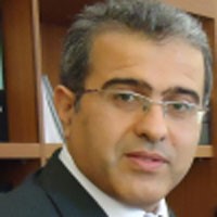
Diofantos G. Hadjimitsis is a Professor of Remote Sensing at the Department of Civil Engineering and Geomatics of the Cyprus University of Technology (CUT). He is the Managing Director of the Eratosthenes Center of Excellence and coordinator of the Horizon TEAMING Project ‘EXCELSIOR’ (www.excelsior2020.eu) (ERATOSTHENES: EΧcellence Research Centre for Earth Surveillance and Space-Based Monitoring of the Environment). He is the member of the Board of ‘The Cyprus Agency of Quality Assurance and Accreditation in Higher Education (CYQAA)’ (https://www.dipae.ac.cy/). Diofantos G. Hadjimitsis was the Vice-Rector of Academic Affairs of the Cyprus University of Technology (2016-2019). He is the leader of the Mediterranean Regional Information Network (MedRIN) GOFC/GOLD/ NASA. His research interests include remote sensing, earth observation, field spectroscopy and geo- geoinformatics for natural and built environment applications. He is a member of several Editorial Boards such as MDPI Remote Sensing, MDPI Heritage, Open Geosciences etc. He participated in several funded projects (more than 80) from H2020, FP7, FP6, ESA, LIFE+, Erasmus, Structural Funds etc.
Marinos Ioannides

Dr. Marinos Ioannides is since the 1st of January 2013 the director of the Digital Heritage lab of the Cyprus University of Technology in Limassol. The lab has been awarded several EU projects within its seven years’ debut (total budget for CUT: 7.5 MEuro). After receiving his MSc in CS at the University of Stuttgart, Germany where his thesis was undertaken at the HP European Headquarters in safety and security of Multitasking Database-systems. He received his PhD (Dr.-Eng) at the same Uni. where he participated in more than 68 EU and national research projects. His pioneering work on the 3D Volumetric Reconstruction of any objects from digitized scattered data during his PhD has let him to receive the prestigious IBM Award in 1993. In 1994 he received for his achievements from the European Commission the prestigious EU KIT award and in 2010 he was awarded from the Spanish and European Association of Virtual Archaeology the prestigious Tartessos prize for his successes in 3D-documentation in Cultural Heritage. In 2017 he received the unique UNESCO Chair Award on Digital Cultural Heritage, which is the only Chair in the World in this area of Education, Science and Technology, as well as in 2018 the EU Innovation Award at the Innovators in Cultural Heritage Fair in Brussels and the unique EU ERA Chair award on Digital Heritage with a 2.5 MEuro financial support in order to establish in Cyprus a regional centre of Excellence. In 2019 the European Commission/Research Executive Agency declared his project MSCA ITN-DCH as one of the best five projects under the category: “Life Changing innovation projects” in the last decade (2009-2019). In 2020 the German Archaeological Institute (GAI) nominated officially Marinos as a Corresponding Member of the GAI for his unique achievements in the area of Cultural Informatics/Digital Heritage. Since 2006 is the Chair of the most successful biannual conference on Digital Cultural Heritage EuroMed (such as CIPA/VAST2006, VSMM2008, EuroMed2010/2/4/6/8). Ioannides was the Coordinator of the Marie Curie (MSCA) Fellowship Project FP7-PEOPLE ITN2013 ITN-DCH project on Digital Heritage (www.itn-dch.eu) with a budget of 3,7 MEuro and the coordinator of the H2020 ViMM (Virtual Multimodal Museum – www.vi-mm.eu) with a budget of 1,3 MEuro. Marinos was also the Chair of the EU Digital Library Europeana’s 1st Task Force Group on Advances in 3D documentation of CH assets.
Phaedon Kyriakidis
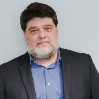
Phaedon Kyriakidis (lead CAA 2021 organizer) is a Professor of Geoinformatics at the Department of Civil Engineering and Geomatics of the Cyprus University of Technology (CUT). He currently serves as the Dean of the School of Engineering and Technology at CUT, and as the Research Coordinator of the Cyprus-based Teaming H2020 Eratosthenes Center of Excellence. His research interests include geostatistics, geocomputation, and geoinformatics, as well as their applications to earth, atmospheric and environmental sciences, archaeology and public health. He is the coordinator of project SaRoCy: “Delineating probable sea routes between Cyprus and its surrounding coastal areas at the start of the Holocene: A simulation approach”, an “Excellence Hub” research project funded by the Research and Innovation Foundation of Cyprus. He is a member of the Editorial Boards of Cartographica and Spatial Statistics, as well as a member elect of the Council of the Association of Geographic Information Laboratories in Europe (AGILE). In the recent past, he has coordinated the organization of AGILE 2019, the 22nd AGILE Conference on Geoinformation Science organized in Limassol, Cyprus, in June 2019.
Georgios Leventis
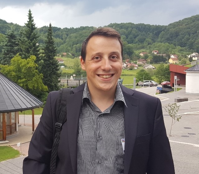
Georgios Leventis is member of the research group and PhD candidate at the Geospatial Analytics Research Lab of the Department of Civil Engineering and Geomatics at Cyprus University of Technology (CUT), directed by Prof. Phaedon Kyriakidis. His research interests include Spatial Analysis, Agent-Based Modeling, Geostatistics, Cultural Heritage, Data Mining, Neural Networks for Machine and Deep Learning. Alongside his doctoral studies, he is employed as a researcher in several National and European -funded projects with most recent: project SaRoCy: “Delineating probable sea routes between Cyprus and its surrounding coastal areas at the start of the Holocene: A simulation approach”, an “Excellence Hub”, funded by the Research and Innovation Foundation of Cyprus and the Horizon TEAMING project ‘EXCELSIOR’; ERATOSTHENES: EΧcellence Research Centre for Earth Surveillance and Space-Based Monitoring of the Environment. Georgios currently serves as the Vice-Chair of the Marie Curie Alumni Association Cyprus Chapter (MCAA-Cy). In the past, he was awarded a Marie Skłodowska-Curie fellowship as part of the “Initial Training Network on Digital Cultural Heritage” (ITN-DCH) project, while he co-organized the AGILE2019; 22nd AGILE Conference on Geoinformation Science organized in Limassol, Cyprus, in June 2019.
Vasiliki Lysandrou
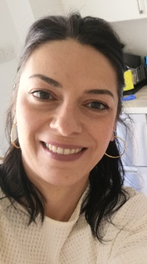
Vasiliki Lysandrou is a Researcher A’ at the Department of Civil Engineering and Geomatics of the Cyprus University of Technology (CUT). She received her PhD in Mediterranean Archaeology from the University of Cyprus in 2014. She holds a three year Diploma di Specializzazione in Restoration of Monuments from the Architectural School Valle Giulia of the University of Rome La Sapienza, a Diploma di Lingua e Cultura Italiana di Livello Superiore from Scuola Leonardo Da Vinci Roma, and a Bachelor in Archaeology from the Aristotelian University of Thessaloniki. Her research interests include the study, survey, and analysis of standing archaeological remains and monuments; aerial archaeology; remote sensing techniques (satellite, middle range and terrestrial) intended for archaeological research; funerary architecture and archaeology of death. Currently she is key scientific investigator of the project Navigator (http://web.cut.ac.cy/navigator/): “Copernicus Earth Observation Big Data for Cultural Heritage”, an “Excellence Hub” research project funded by the Research and Innovation Foundation of Cyprus.
Dimitrios Skarlatos
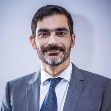
Dimitrios Skarlatos is Associate Professor of Photogrammetry at the Department of Civil Engineering and Geomatics of the Cyprus University of Technology (CUT). He currently serves as Vice Chair of the Department of Civil Engineering and Geomatics and has been elected as Vice Dean of the School of Engineering and Technology at CUT, for a three year term, staring November 2020. He has coordinated iMARECULTURE a H2020 Research and Innovation Project for AR and VR museums in underwater Cultural Heritage sites. His research interests include UAV mapping, optical bathymetry of coastal areas, underwater 3D modelling, and CH applications of the afore mentioned topics. He has served as member of board in Hellenic Society of Photogrammetry and Remote Sensing (2003-2019), and Vice President of Cypriot Association of Rural and Surveying Engineers for one term (2014-2016). He is the academic representative of Cyprus in EuroSDR (since 2010) and co-chair in International Society of Photogrammetry and Remote Sensing, Commission II (2016-2021), Working Group 9, about underwater photogrammetry. He has Chair of the organizing committee for the Underwater 3D Recording and Modelling Workshop, organized in Limassol, Cyprus, in May 2019 under ISPRS and CIPA auspices.

